Trip Date: September 6th, 2020
Today was a beautiful day to go out and visit the Mount Saint Helens National Volcanic Monument. Danny, Emma and I traveled down on the west side of the mountain today, driving up to the Johnston Ridge Observatory area of the monument. We have visited the eastern side of the mountain multiple times before, at the Windy Ridge Viewpoint, but had not yet traveled up to the observatory area.
The total devastation of the vegetation and transformation of the landscape created by the volcanic eruption in 1980 is still front and center to see, even when visiting 40 years later. The forests on the west side are recovering nicely, with obvious groves of different tree types planted on the mountain slopes. Dense groves of Noble Fir trees are particularly spectacular to see along Hwy 504.
The roadwork necessary to get back into the area was quite impressive. Multiple bridges and road switch backs were necessary to span the valleys on the way back to Johnston Ridge. The enormous 2,340 foot steel truss bridge across the Hoffstadt Creek is great to drive over and even better to photograph from the roadside park on the west side of the bridge.
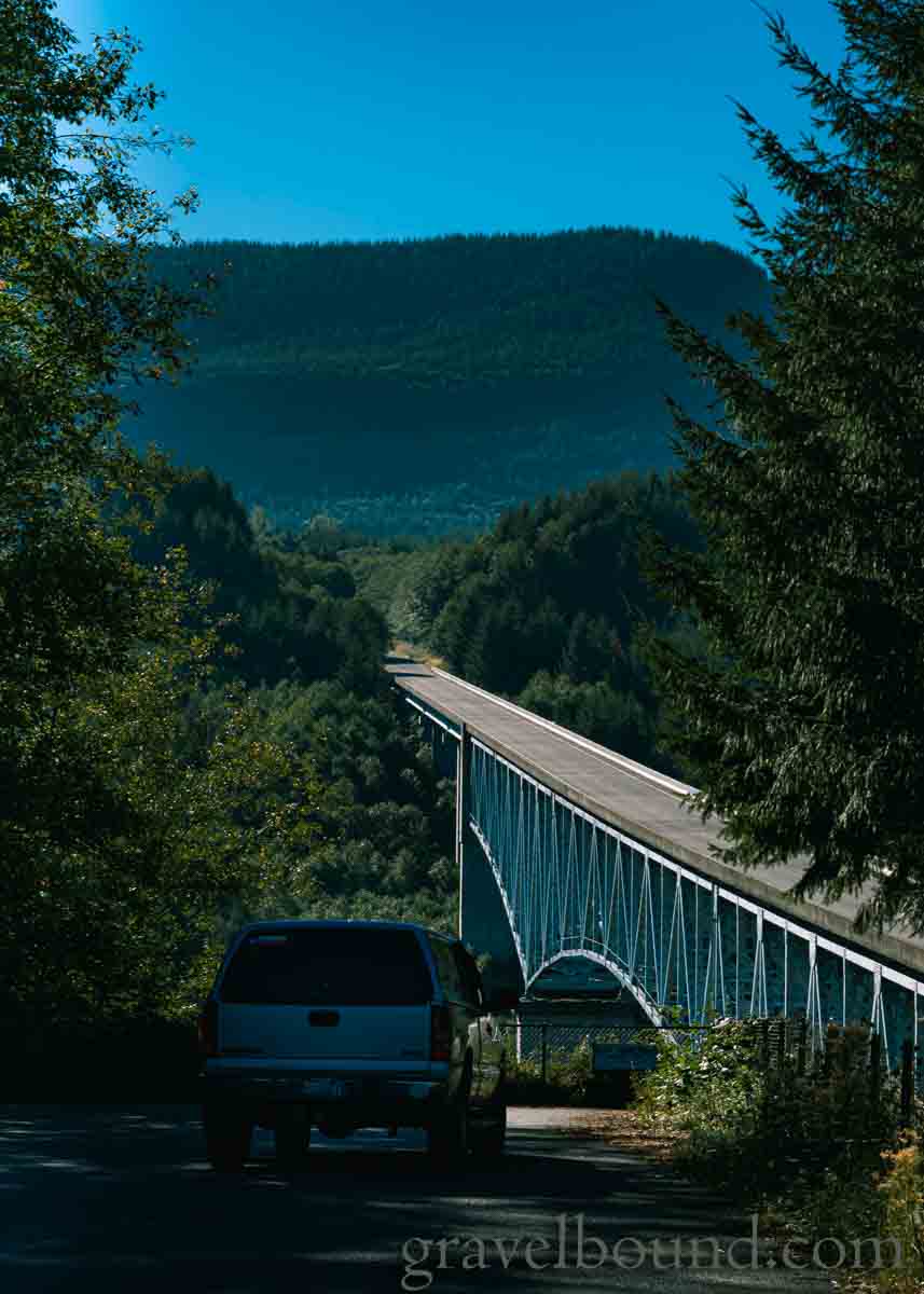
Heading into the National Monument 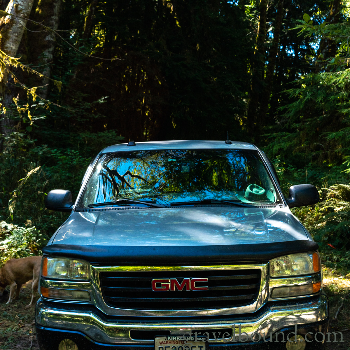
The GMC stayed clean while on Hwy 504 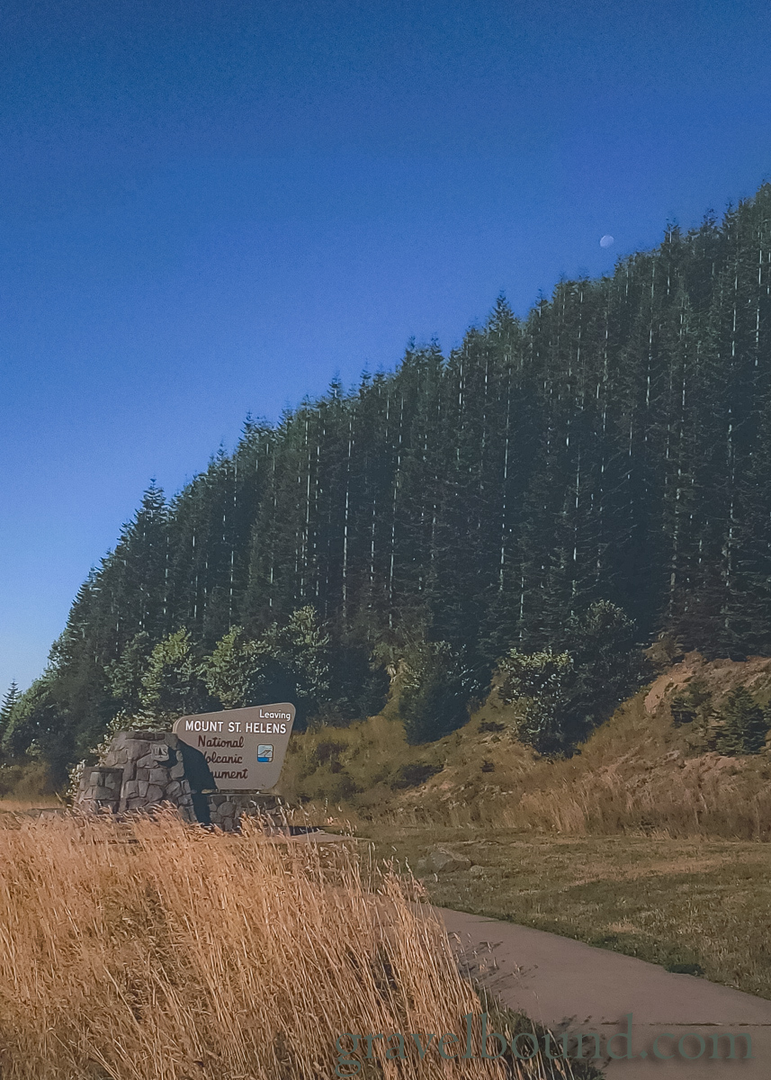
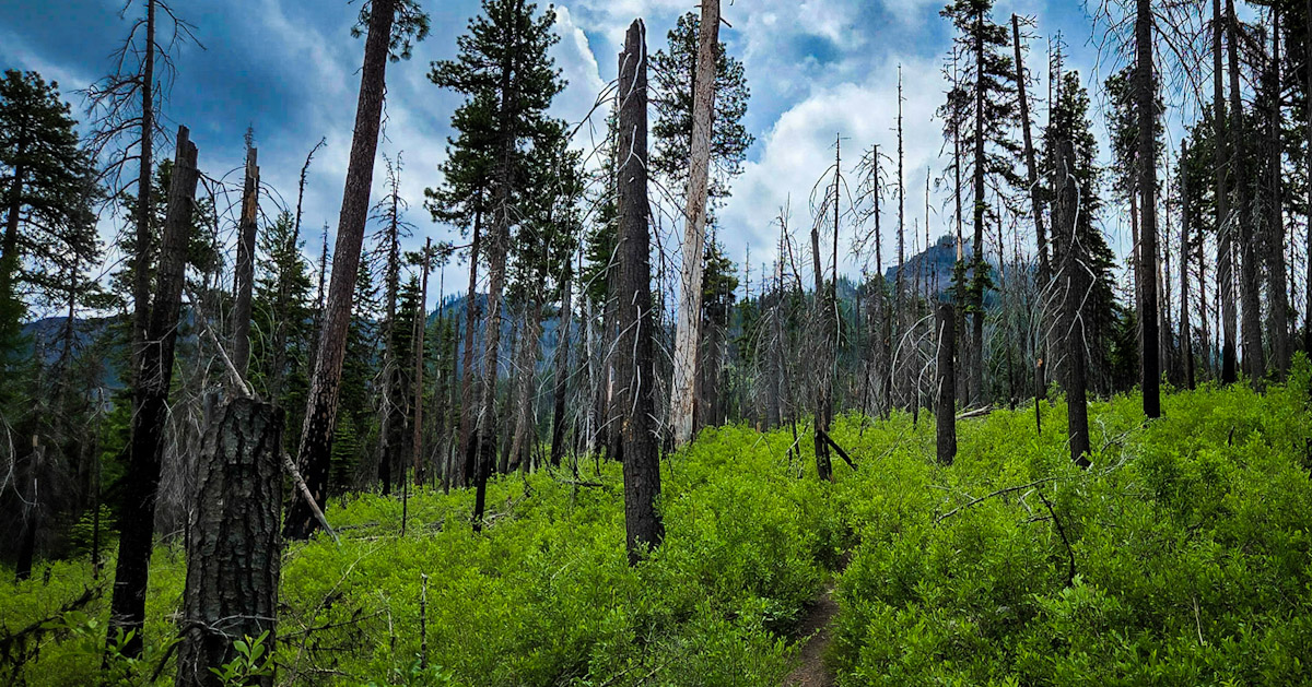
Trees in the National Monument 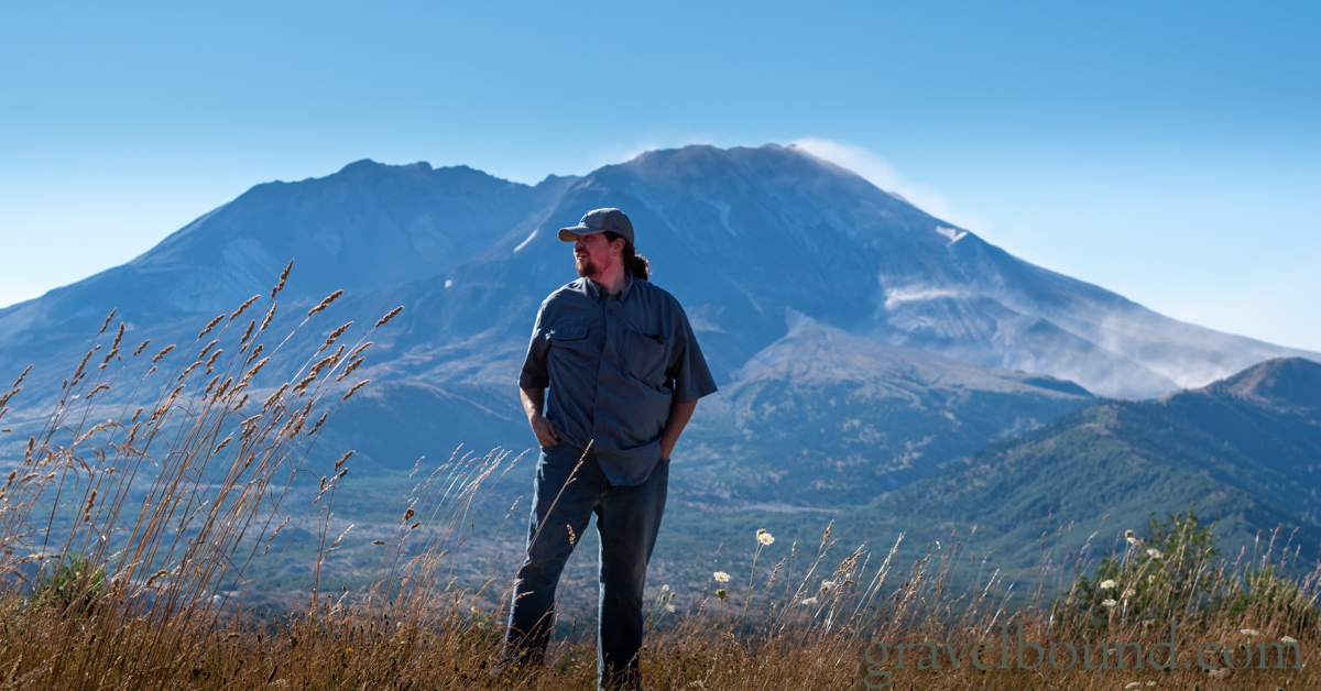
Andy posing with a Mount St. Helens backdrop 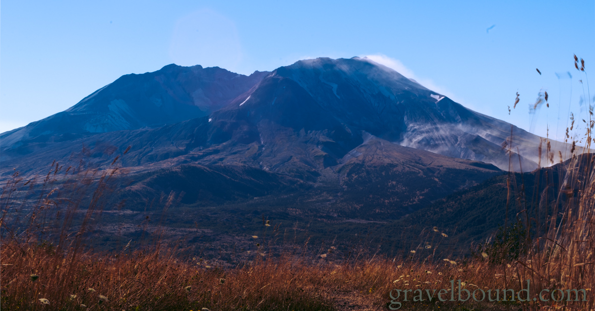
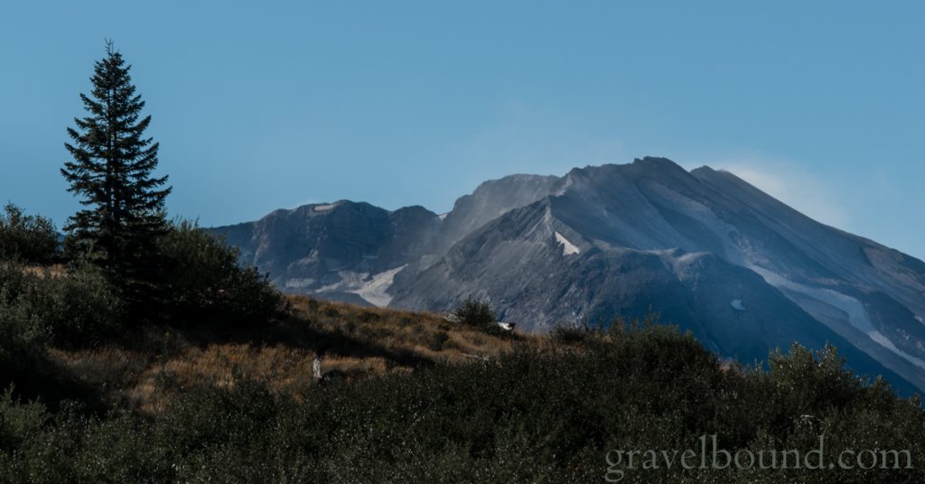
Mount St. Helens with a Blue Sky backdrop 
Emma enjoying the trip 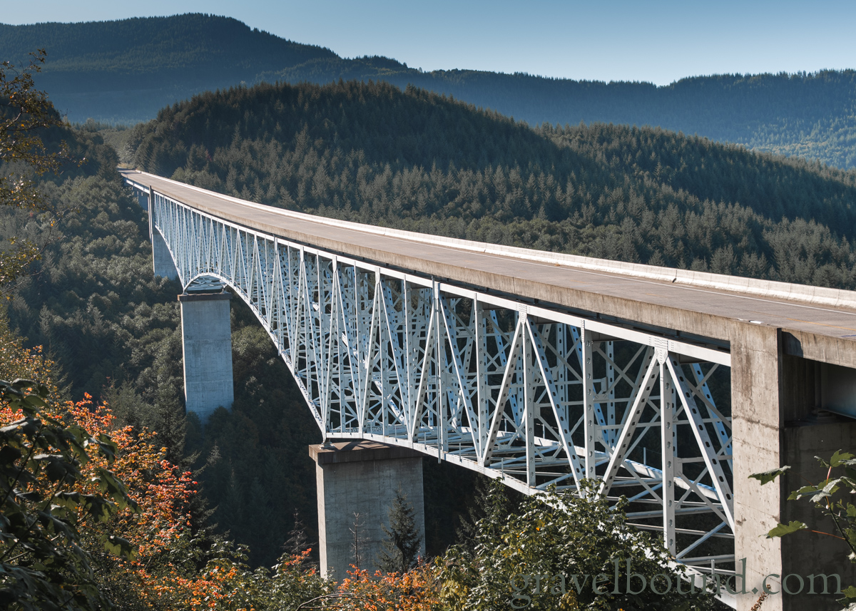
The 2,340 foot Hoffstadt Creek bridge on Hwy 504 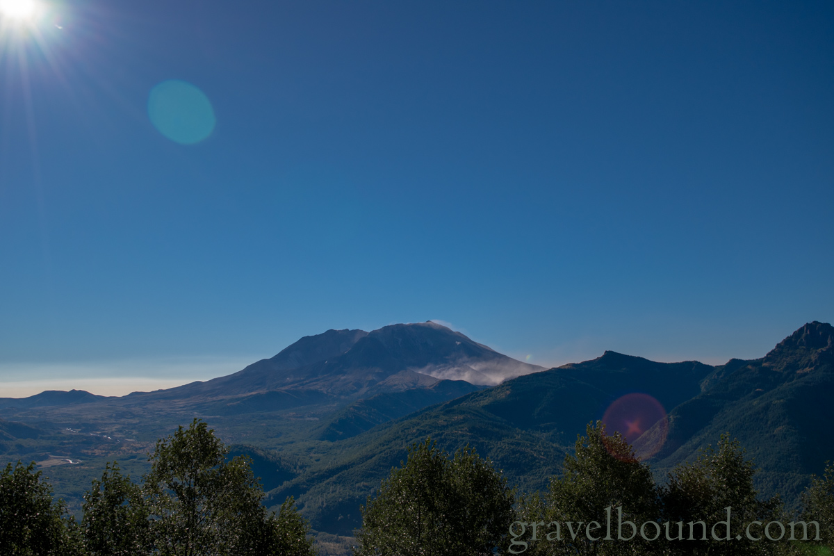
Steam forming on the slopes of Mount St. Helens 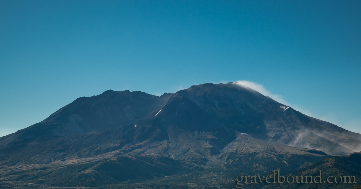
Closeup of Mount St. Helens 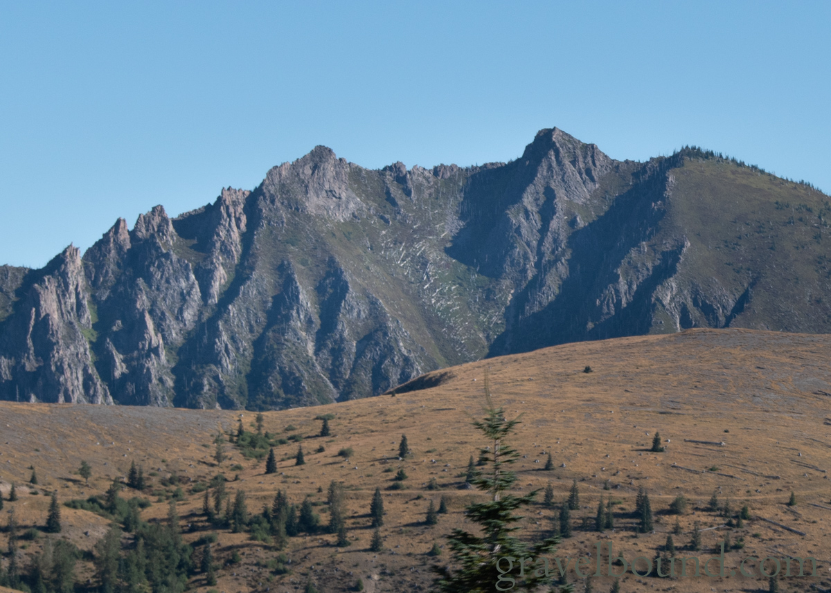
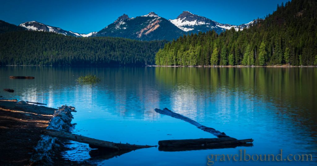
Ridges surrounding Johnston Ridge parking lot 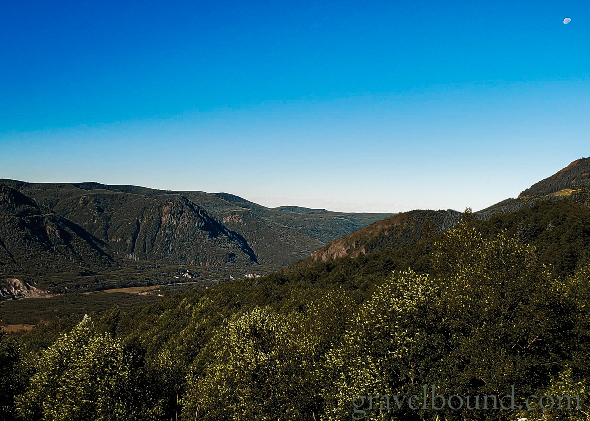
The moon shining bright on a beautiful blue sky 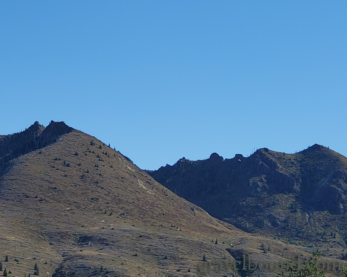
A natural arch way in the distance 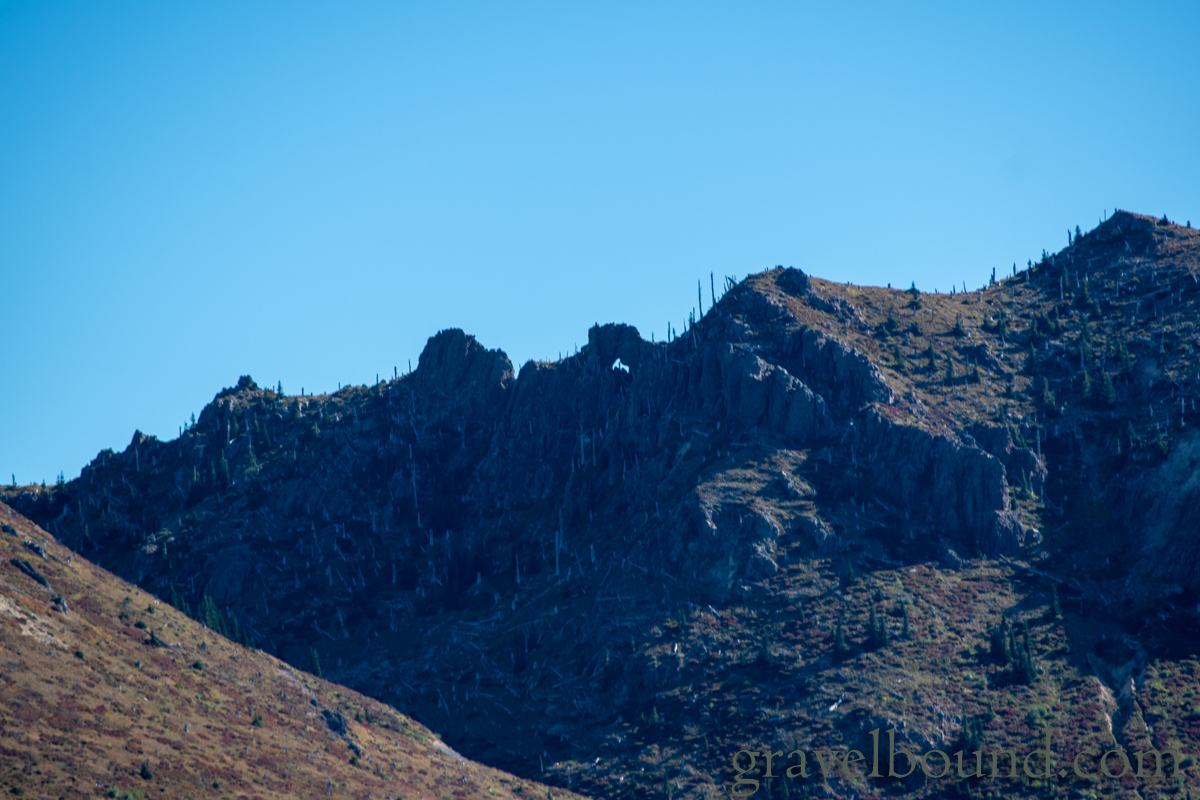
Closeup of the natural arch 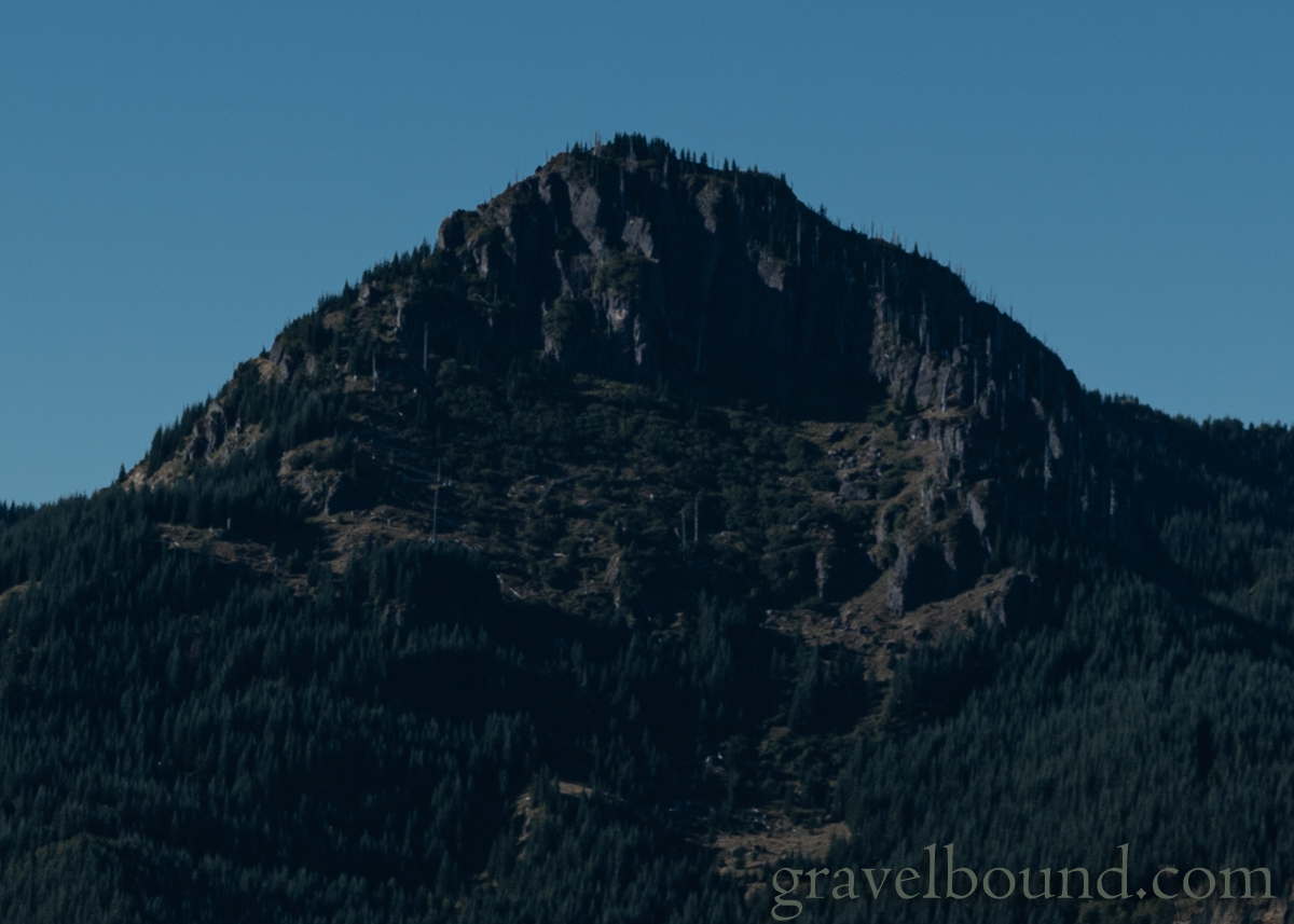
Few trees on these bare rocky peaks 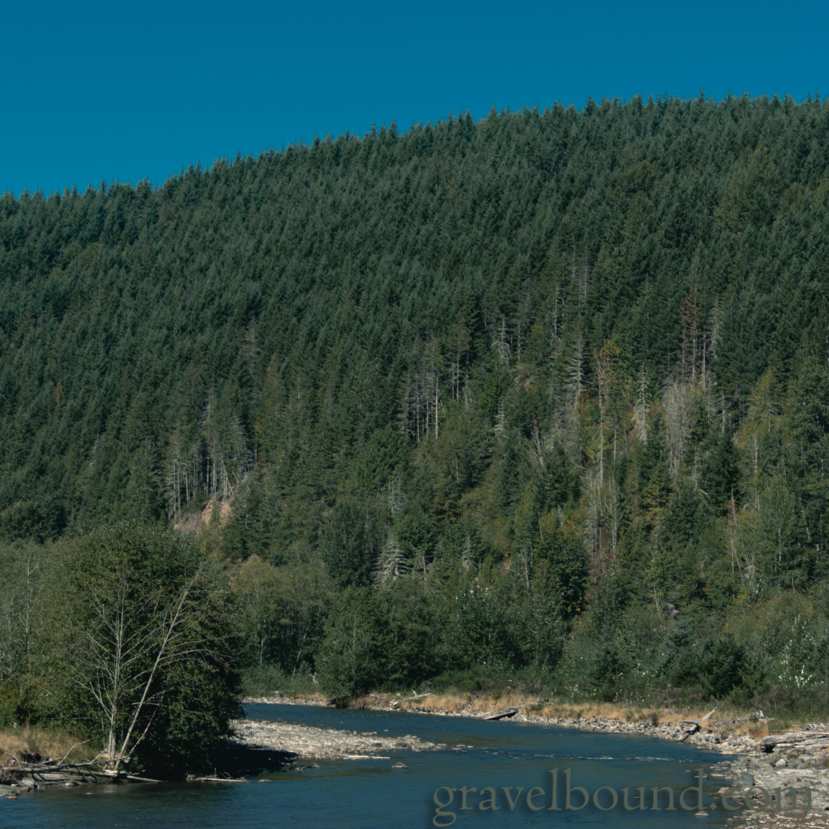
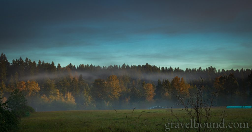
Forests along the Toutle river 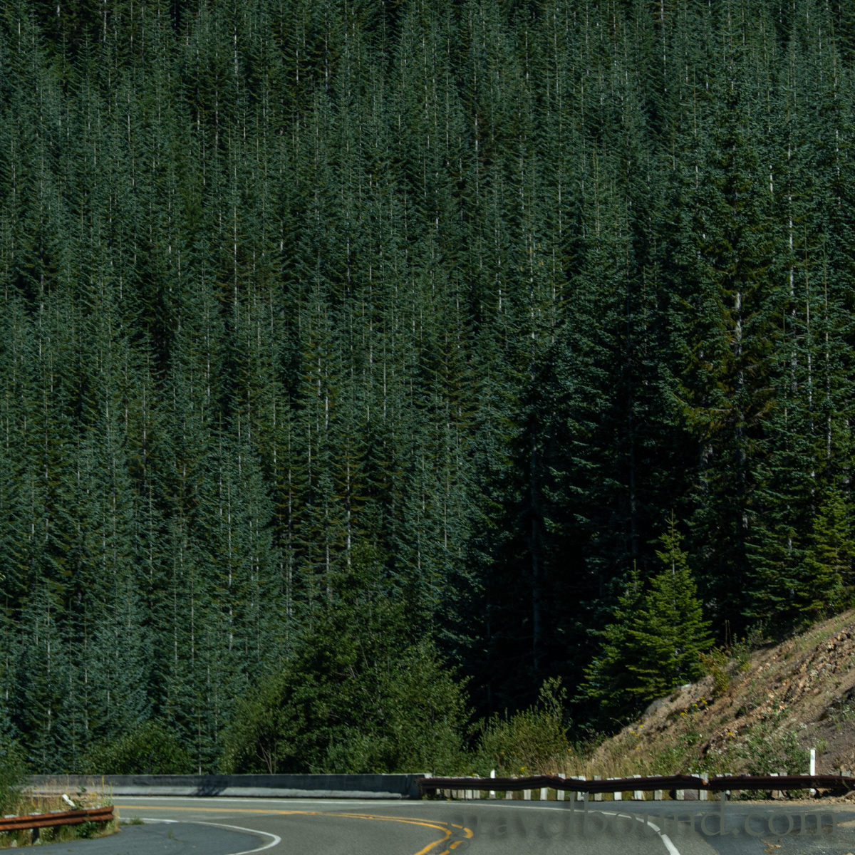
Dense grove of Noble Fir Trees along Hwy 504 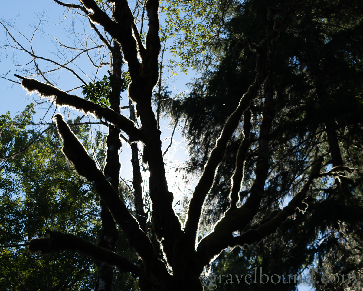
Moss covered trees return when you get back to the Green River 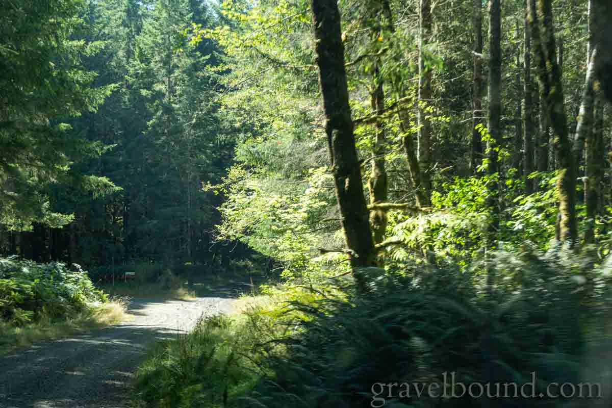
Road getting to the North Toutle Fish Hatchery
Informational signs at a few of the roadside pullouts and viewpoints along Hwy 504, heading into the National Monument.
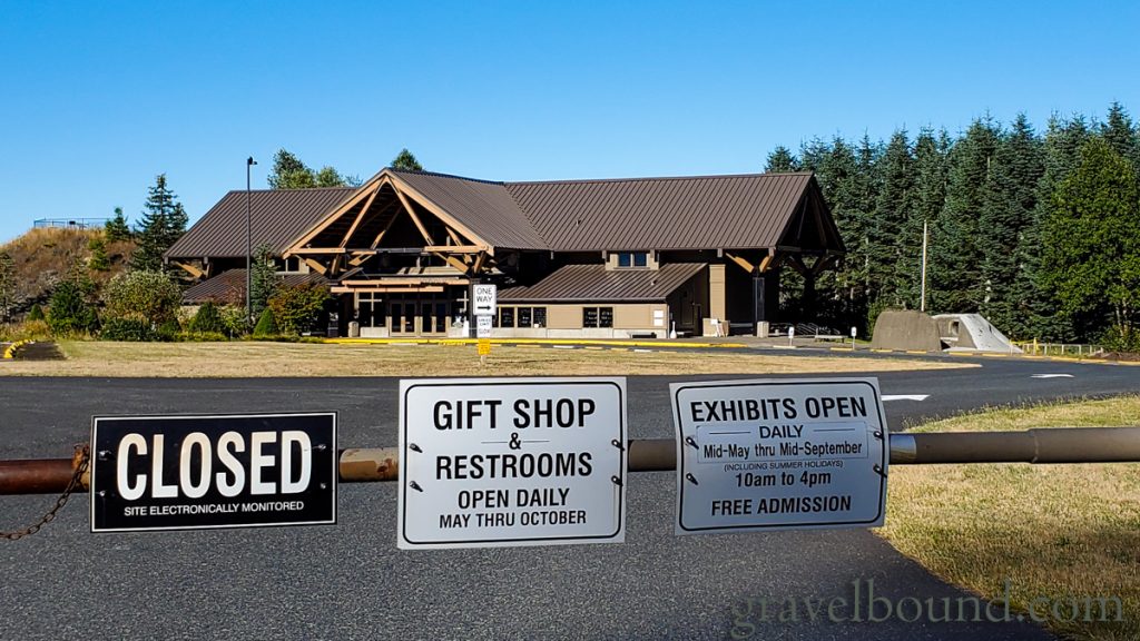
Mt St Helens Forest Learning Center 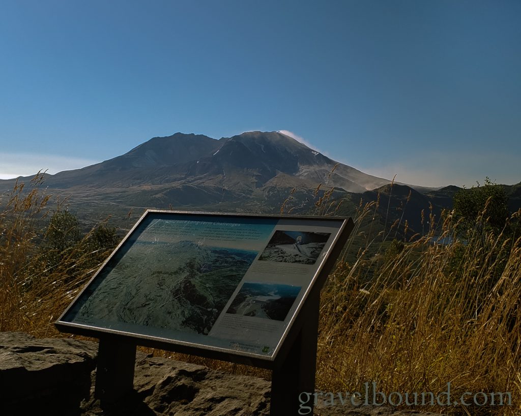
Mount Saint Helens Viewpoint Sign 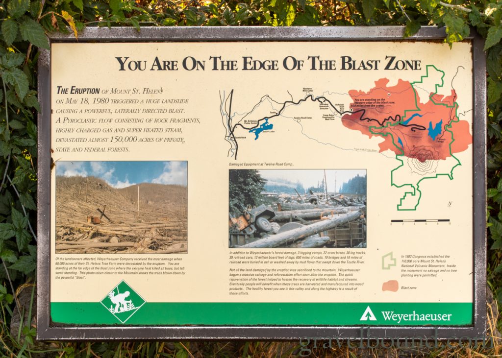
You are on the edge of the blast zone 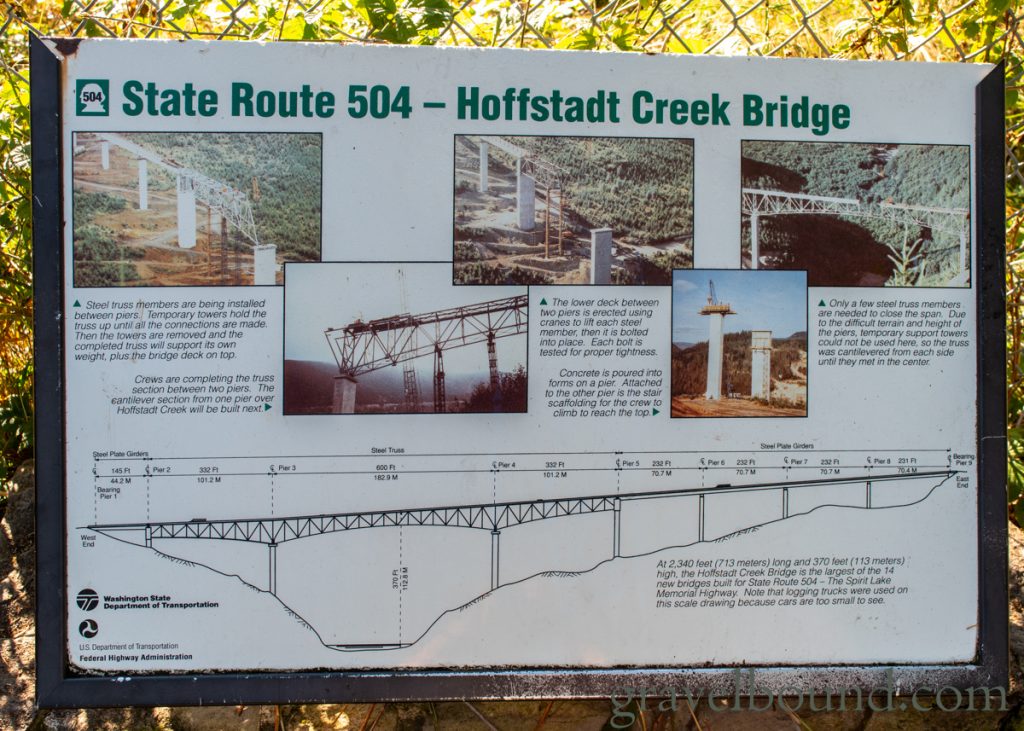
State Route 504 – Hoffstadt Creek Bridge 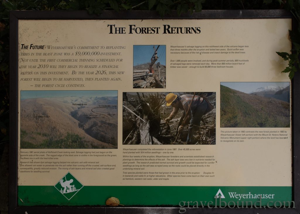
The Forest Returns 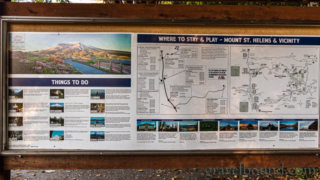
Where to Stay & Play – Mount St. Helens & Vicinity 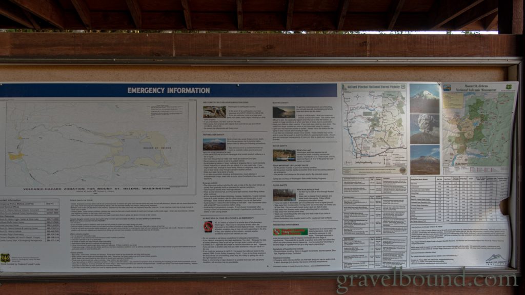
Maps & Emergency Information 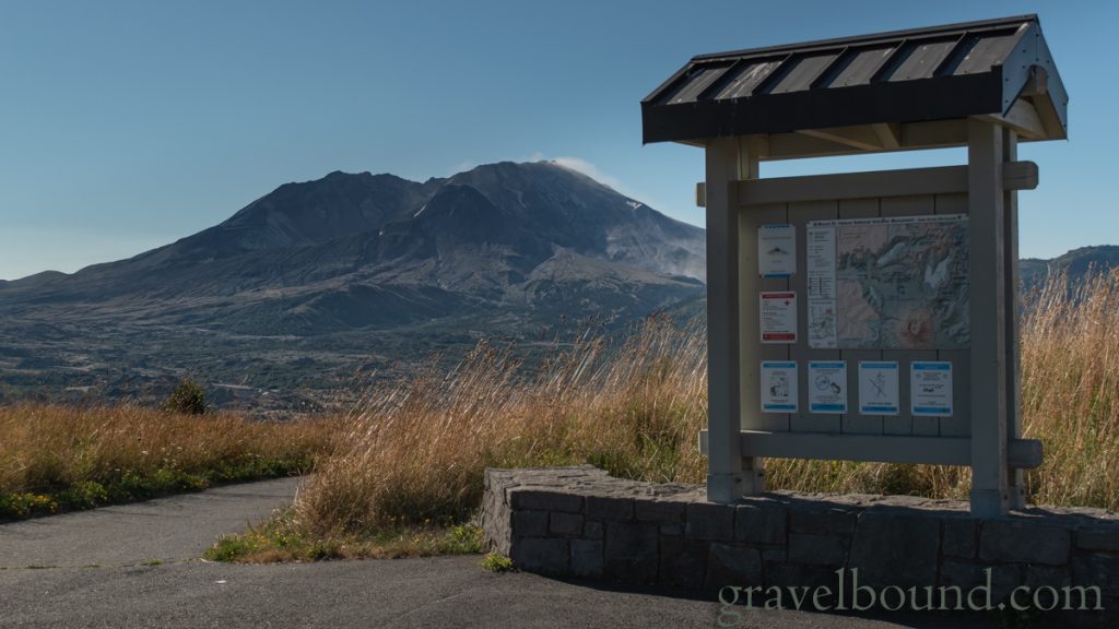
Another St. Helens Viewpoint Sign 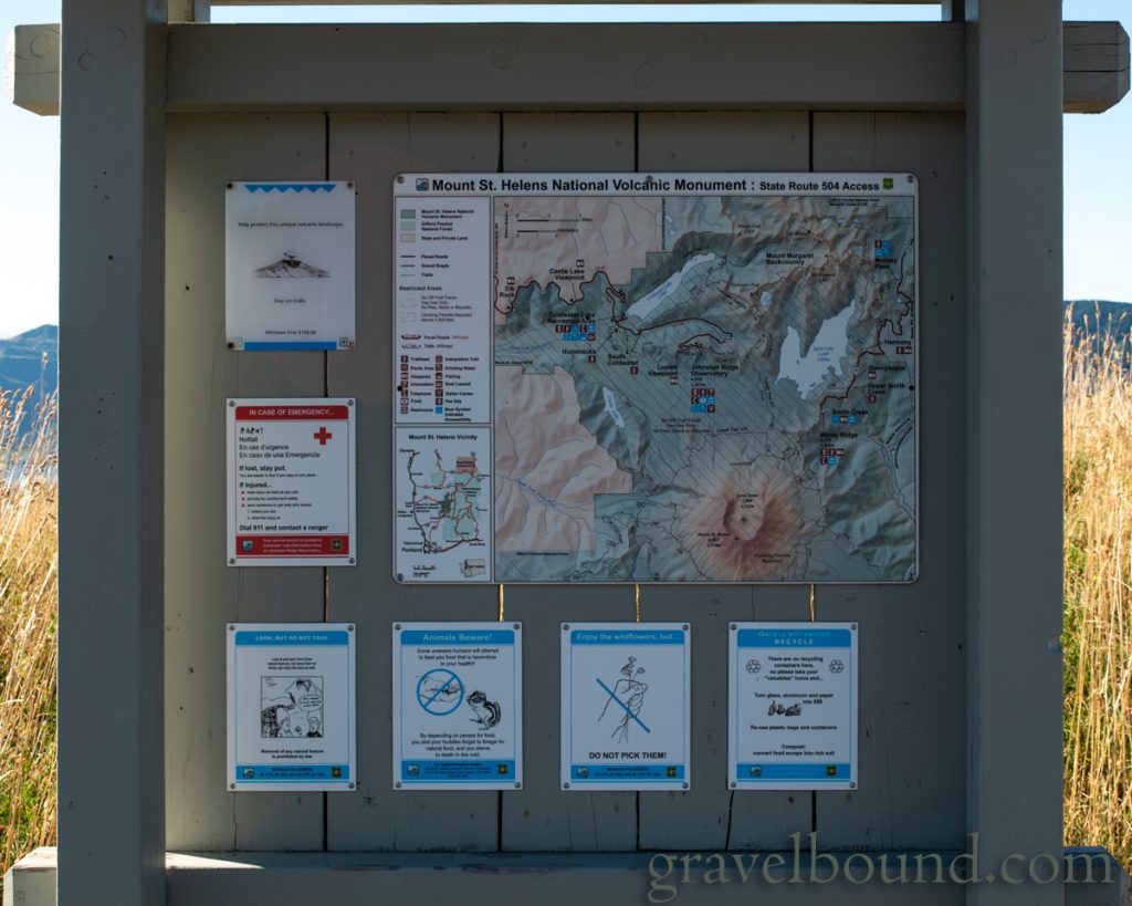
Vehicle Access Map 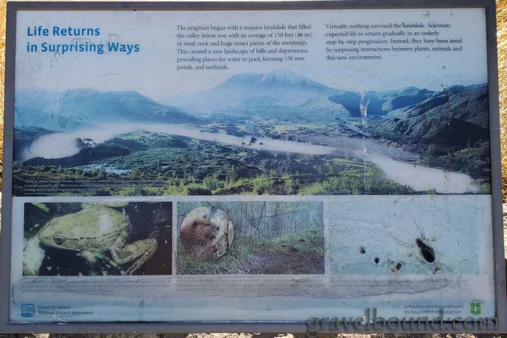
Life Returns in Surprising Ways 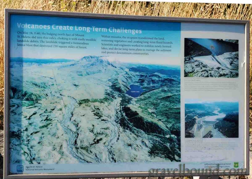
Volcanoes create long-term challenges
