Trip Date: July 20th, 2022
On this trip I went out on a solo hiking adventure in the Sawtooth area of the Gifford Pinchot National Forest, just south of Mount. Rainier. It was early summer, with blue skies and mild temperatures, making for perfect conditions to hike in the forests of the Cascade Mountains.
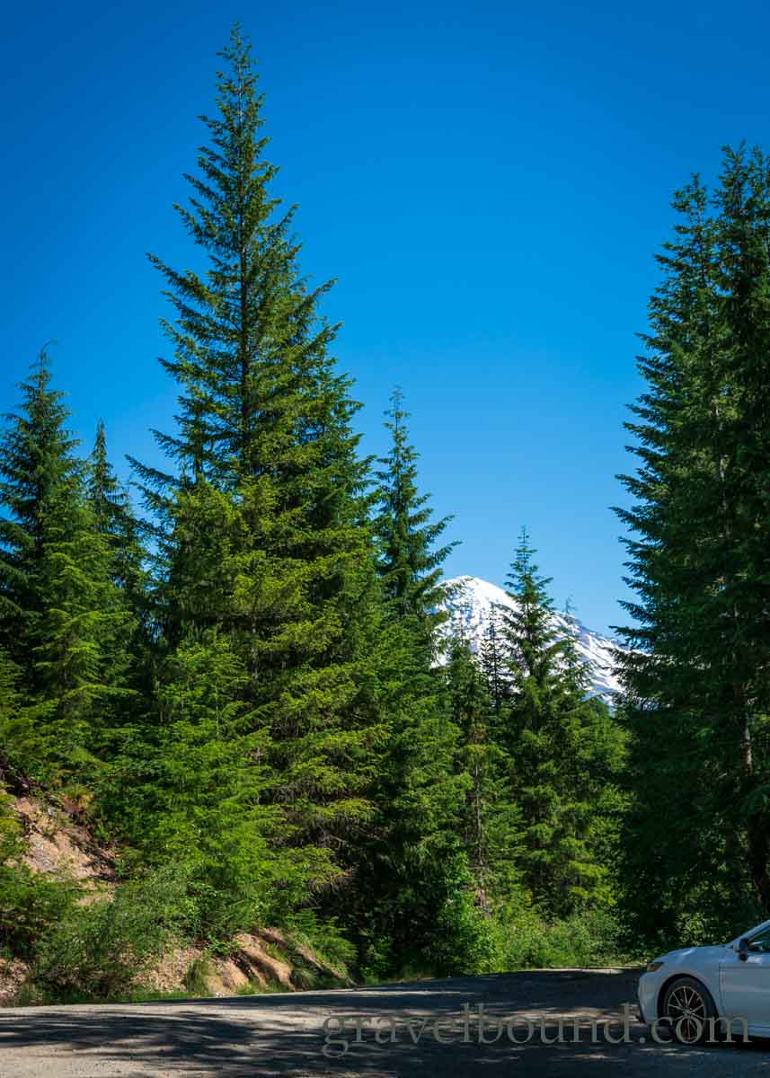
The hike started at the Teeley Creek trailhead, accessible after driving a few miles up a gravel forest service road, to the south of the Nisqually River. A small size parking area exists at the trailhead, with views of Mount Rainier available before the hike even begins.
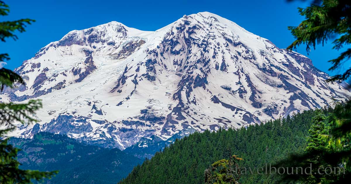
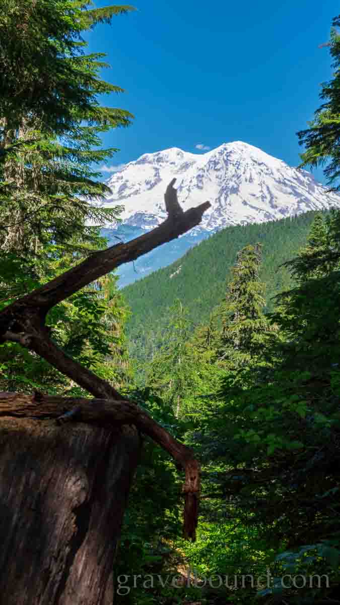
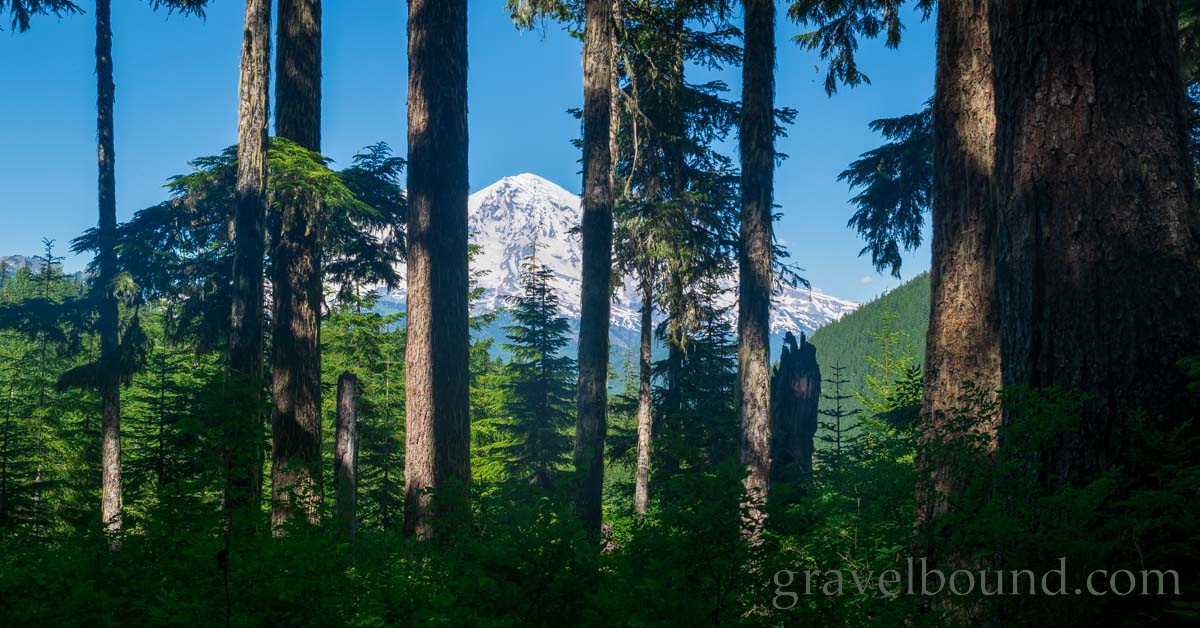
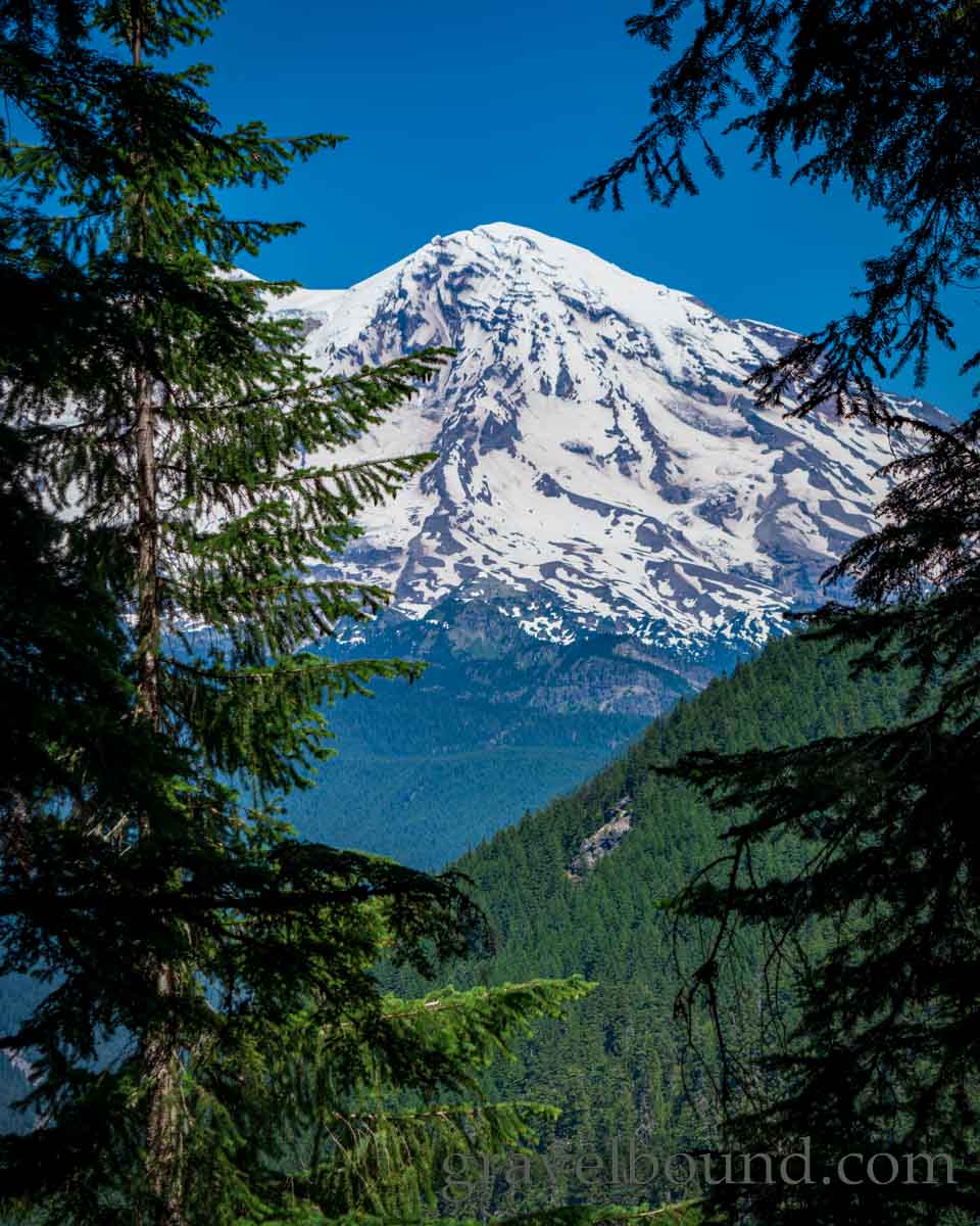
Not long after starting the hike down trail #251, I was soon greeted with even wider views of Mount Rainier, hiding behind the trees. The prominence of this majestic stratovolcano is hard to take in, reaching above 14,000 feet in elevation, only a few miles across the Nisqually River valley.
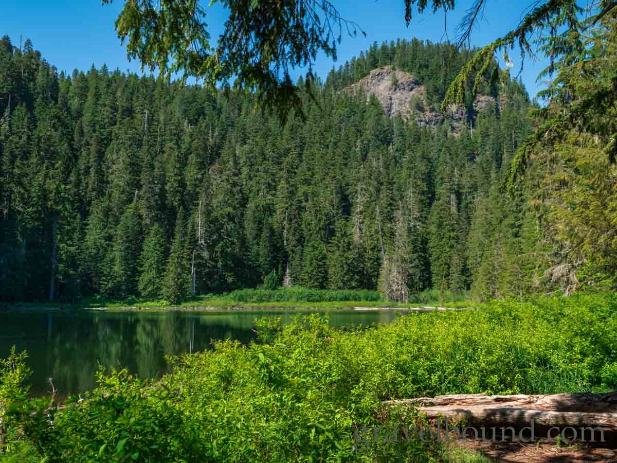
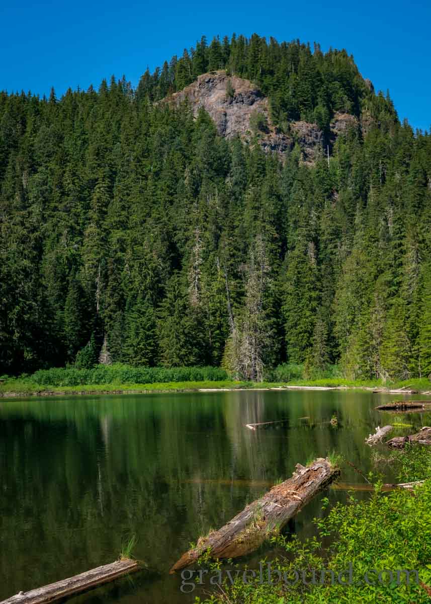
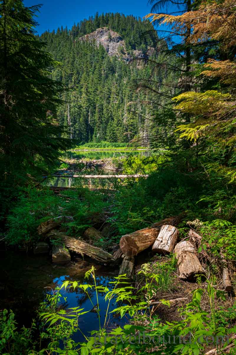
Soon, I arrived at Pothole Lake, the lower of the three mountain lakes I will be hiking too today. Pothole Lake is a short easy hike from the trailhead, sitting at just about the same elevation as the parking lot.
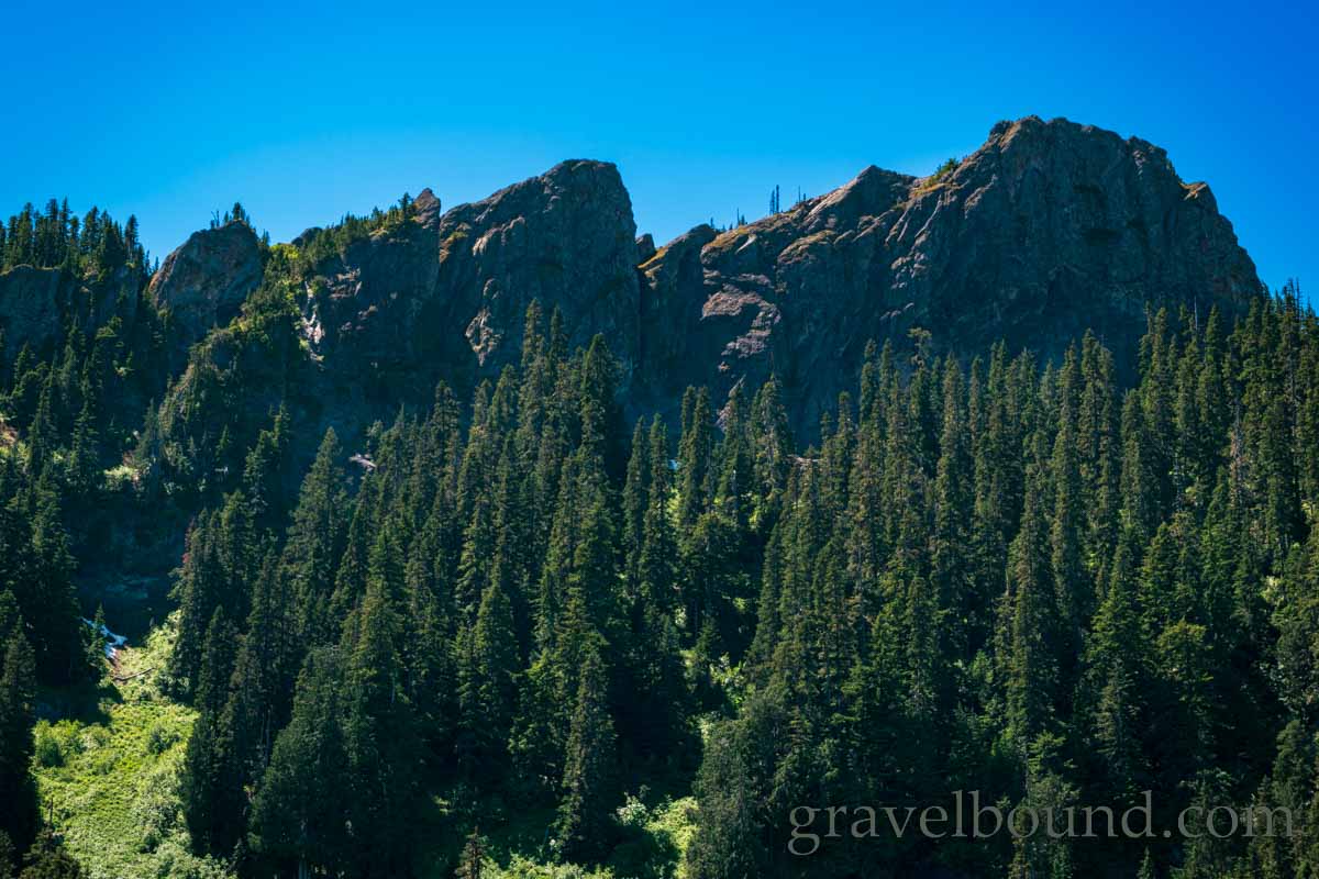
The exposed rock outcropping above Pothole Lake was neat, and provided a taste of the mountain scenery that awaited me at the next two lakes.
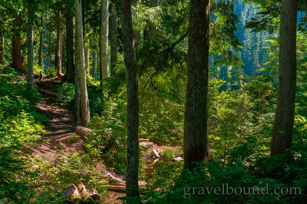
I continued past Pothole lake and made my way up the trail, entering into pockets of old growth forest. Some of these giant hemlock trees have stood here watching Mount Rainier for 100s of years. Here in the Sawtooth Area of the Gifford Pinchot National Forest is s an abundance of serene and peaceful mountain scenes.
The trail to the next lake involved a few 100 feet of elevation gain, so I cinched up my backup, deployed my hiking pole and made my way up the trail. Before long I arrived at the middle lake on the hike, Bertha May Lake, situated at 4055 ft. elevation. The contrast of the mountain blue tinted lake water, moss covered lake bottom and blue skies gave Bertha May Lake impressive shades of aquamarine colors that varied from shoreline to shoreline.
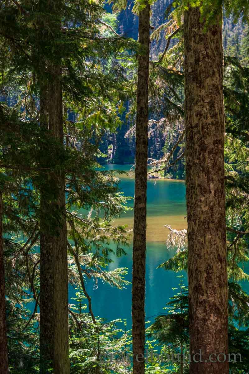
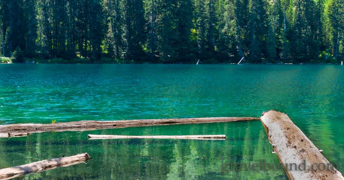
The rock outcroppings at Bertha May Lake are even more impressive than were seen at the first lake. Large exposed granite crags extend above the treed shoreline at Bertha May Lake, with small patches of snow still melting in the shadowed valleys of the terrain.
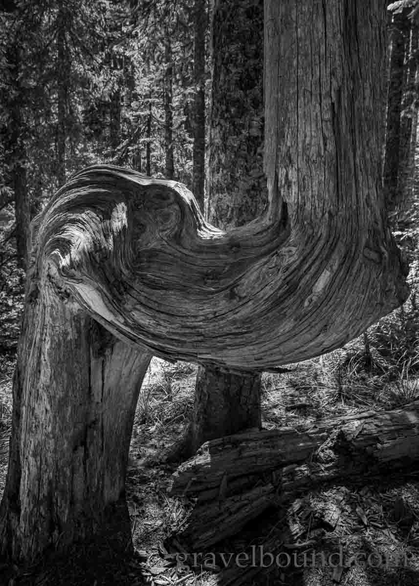
After relaxing at Bertha May lake for a while, I packed up and continued on up the trail to the next destination, Granite Lake. Along the trail to Granite Lake was a cool old gnarled tree that had long ago died, it’s bark fallen off, and the remaining wood slowly decaying. The swirling patterns in the woodgrains as they traveled around the curved trunk made for some cool photographs.
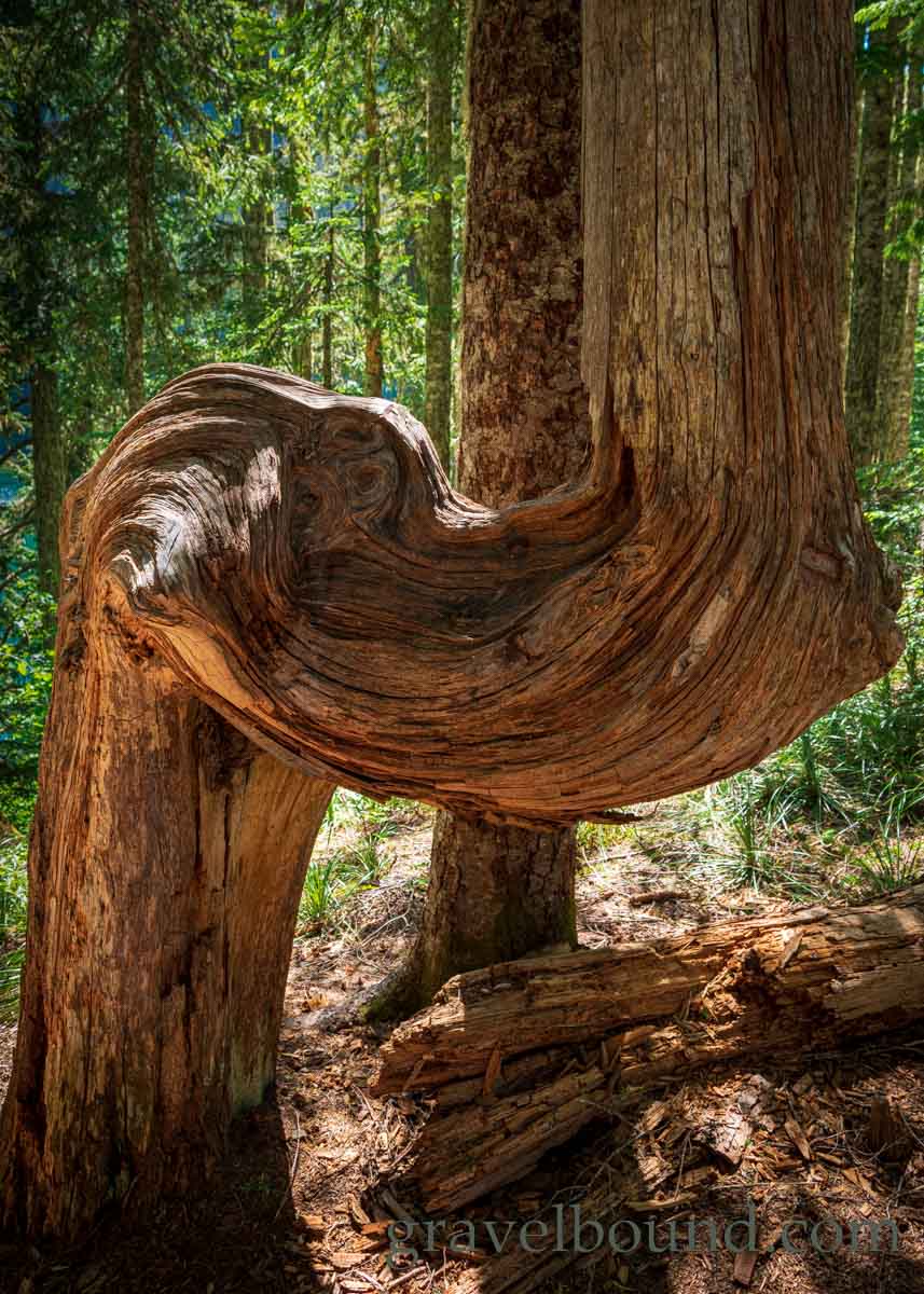
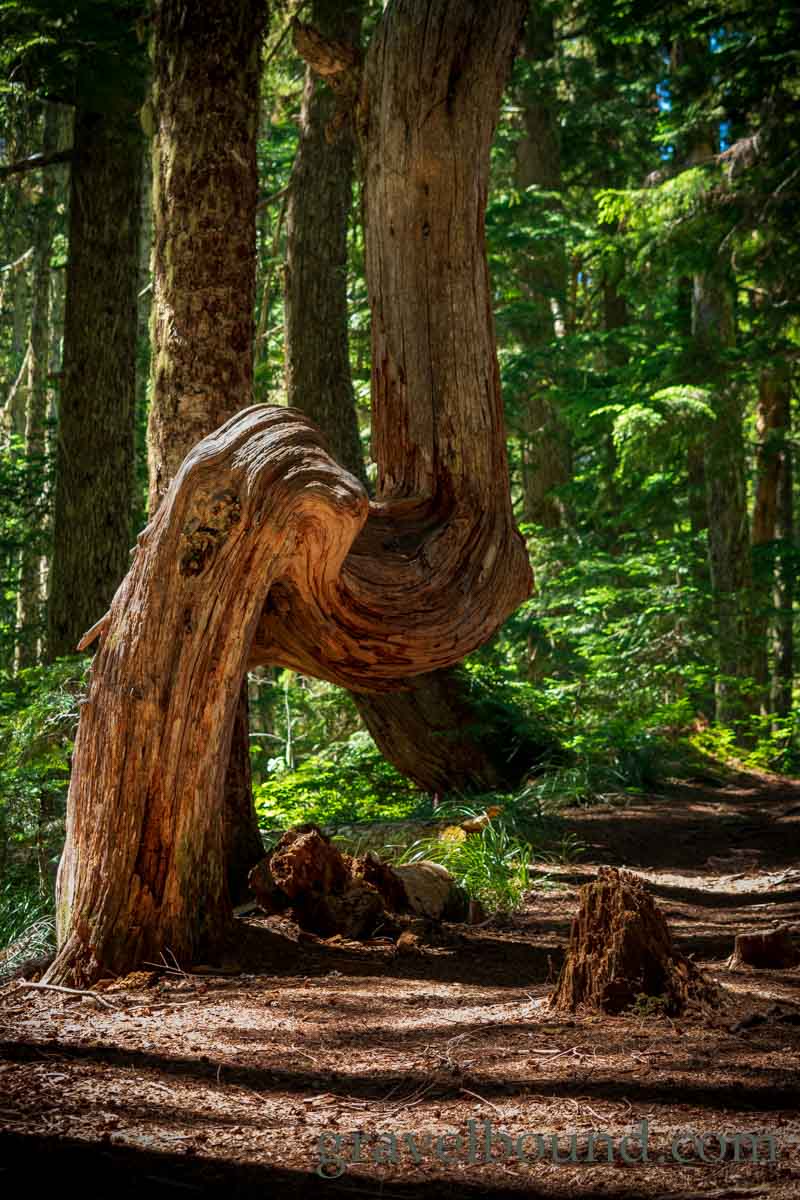
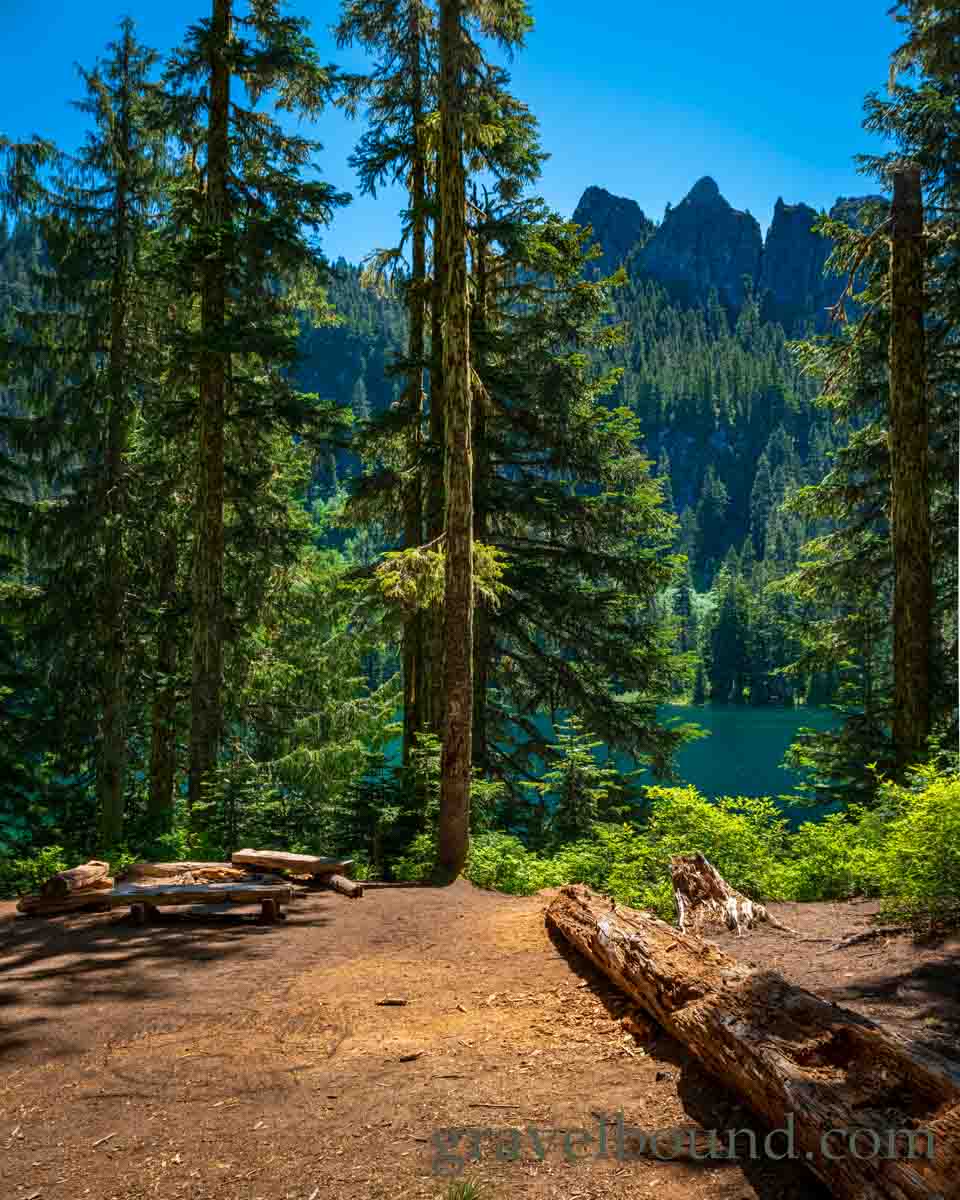
It is only a small elevation change and relatively easy hike through the the forest traveling between Bertha May and Granite Lake, with Granite Lake slightly higher in elevation at 4175 feet. Along the trail at Granite Lake is an excellent dispersed campsite situated just above the lakeshore, with log benches situated around one of the most scenic campfire rings I have ever seen.
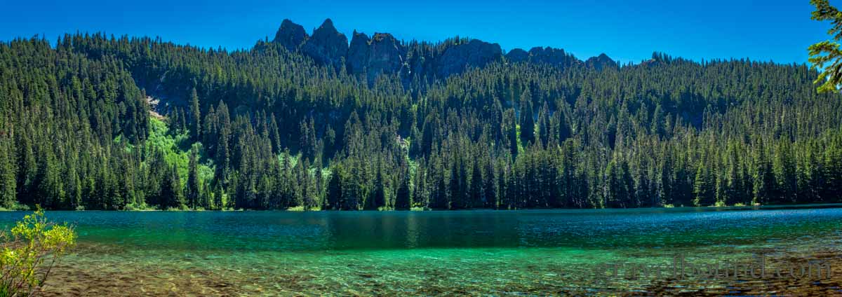
Granite Lake was quite the impressive mountain lake, with a large extent of open water and easily accessible shoreline, providing for a sweeping panoramic view of the granite rock prominences along the skyline at this lake. This would be a truly stunning place to make camp for a few nights on an overnight backpacking trip. It would be dream to photograph this place on a dark night, capturing a time-lapse view as the sky filled with stars.
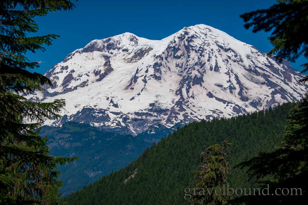
Before heading back down the trail, I did a little looking around near Granite Lake, hoping for a better view of the volcano. It was not first obvious, but there was indeed an unobstructed view to be had of Mount Rainier, standing tall in the not so far distance.
Overall Granite Lake was my favorite of the three lakes, and well worth the hike to the end of the Teeley Creek Trail. The most magnificent rock outcroppings were at Granite Lake, and it was the only lake side camping area with easy views of Mount Rainier. I fully expect to visit these lakes again sometime in the future.
